Walking the Hidden River: The Secret Tenjingawa Tour of Nakano
 himitsukichi
November 16, 2024 | Nakano Himitsukichi
🇯🇵 日本語版はこちら
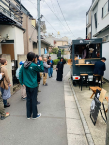
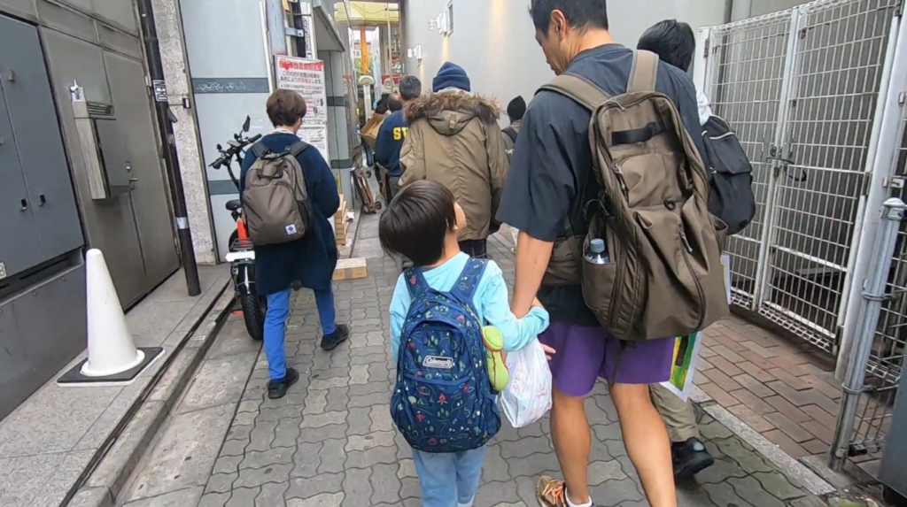
On a cloudy November afternoon, a group of curious explorers gathered at Nakano Station's north exit — not to visit a museum or a temple, but to search for something invisible: a river that no longer exists on any map.
The event was the Nakano Himitsu no Tenjingawa Tour (The Secret Tenjingawa River Tour), guided by Ankyo Maniacs, a duo dedicated to exploring Tokyo's ankyo — rivers that were buried underground during Japan's rapid postwar urbanization. The Tenjingawa was once a small tributary flowing from near Nakano Sunplaza into the Momozono River, but was filled in roughly 60 years ago. Today, no trace of it remains above ground. Or does it?
The clues are hidden in the city itself — in the subtle curve of a road, an unusually narrow alley, an excess of manhole covers, a doorstep with a mysterious step up. Walk with the right eyes, and ordinary Nakano suddenly reveals itself as something else entirely.
① Nakano Station North Exit — Meeting Point
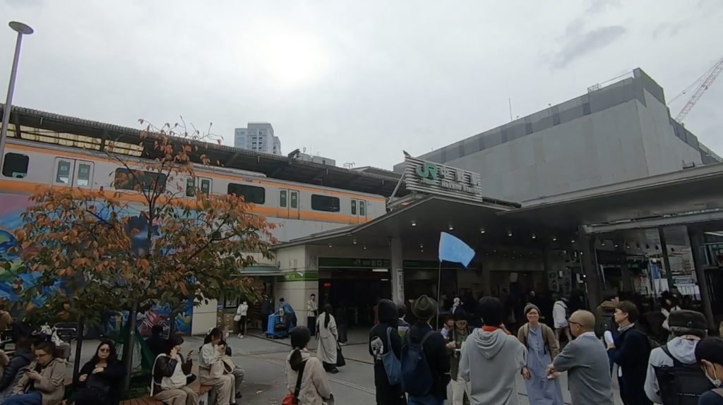
Our guide Takayama-san from Ankyo Maniacs opened with a framework for the walk: two lenses called E & I — Evidence and Imagination.
Evidence means spotting the physical clues left behind by a river: a road that curves for no apparent reason, subtle differences in pavement texture, land parcels that don't quite line up, the presence of a sento (public bathhouse) or dye shop — businesses that needed flowing water nearby.
Imagination means letting your mind fill in what's no longer there. While walking above a buried river, picture what you might have seen: the sound of water, steam rising from a bathhouse's wastewater mixing with the stream, laundry hung along the banks. Think not just about the place as it was, but about the full history it has passed through.
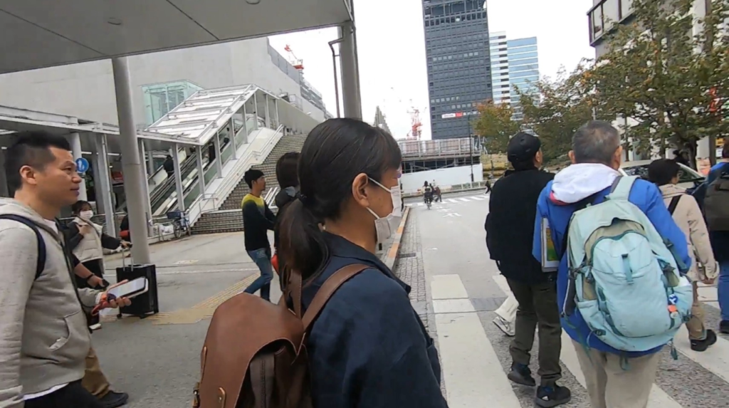
② Nakano Sunplaza — Where the River Began

Our first stop was Nakano Sunplaza, the beloved concert hall and hotel that became an icon of the area before its demolition. According to an 1877 map, the Tenjingawa flowed as a tributary of the Momozono River through this very neighborhood. The area was historically rich in water: during the Edo period, the shogunate maintained a large dog kennel here, requiring many wells to be dug — and it's thought those wells may have fed the Tenjingawa's source.
Takayama-san also shared some remarkable local history through his signature Ten-Q Quiz (Tenjingawa Quiz):
The Army Nakano School. In the early 20th century, this site housed Japan's secret intelligence training academy — a school for spies. Unlike other military institutions of the era that taught soldiers to die for their country, the Nakano School taught its graduates to survive and continue underground operations. One famous alumnus, Hiroo Onoda, followed those orders so faithfully that he continued his mission in the Philippine jungle until 1974 — 29 years after the war ended.
The "Takahara" place name. Signs around the area reference "Takahara Park" and "Takahara Guard." The name is thought to be a compound: taka from Kōenji, hara from Nakano — blending two districts into one name for the area between them.
Nakano and Okinawa. Why does Nakano host so many Okinawan festivals and events? In 1970, Nakano Ward's youth affairs office launched a policy to create gathering places for people who had moved to Tokyo from other regions. Okinawa, Niigata, and Aomori were the first three prefectures chosen. A man named Kinjo Tadaatsu opened his home weekly as an informal "Okinawan community house," and his address was printed in Okinawa's regional newsletter: if you come to Tokyo, visit this person. Nakano's long history of progressive civic activism — petitioning the cabinet on labor rights, opposing nuclear testing — may have made it particularly welcoming to newcomers.


③ Daini Chikara Sake Shop
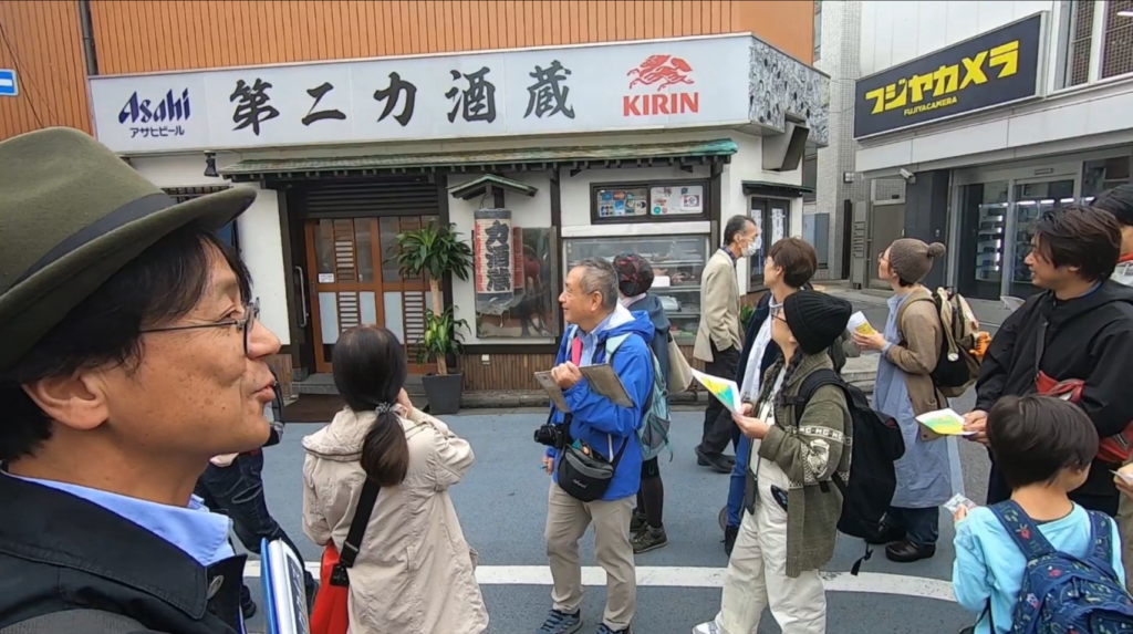
Passing by the old Daini Chikara sake shop, Takayama-san explained that the "Chikara" chain once numbered up to seven locations across Tokyo. Number four was skipped (unlucky in Japanese), three and five remain unaccounted for, and the original Ichiban (No. 1) Chikara — near Araiyakushi — now operates as a yakiniku restaurant, though the original sake shop signage still hangs inside.
④ Lions Plaza Nakano — The Closest Point to the Source
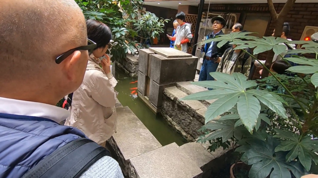
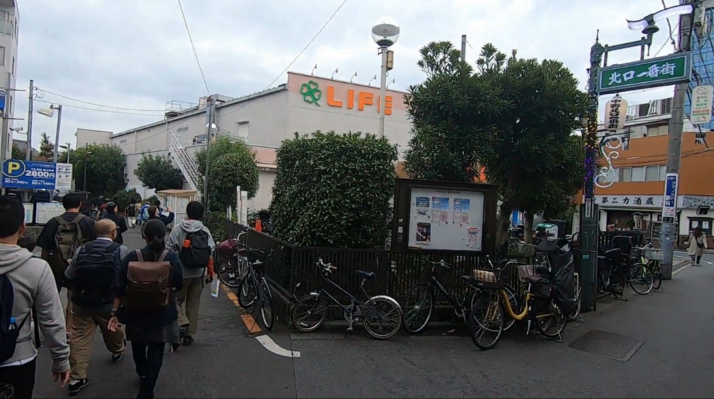
Entering the Lions Plaza building, the group found a quiet pond tucked inside the premises — said to be the closest surviving point to the Tenjingawa's original source. From here, the group turned into the narrow lane alongside a Life supermarket, beginning to walk the route the river once took.
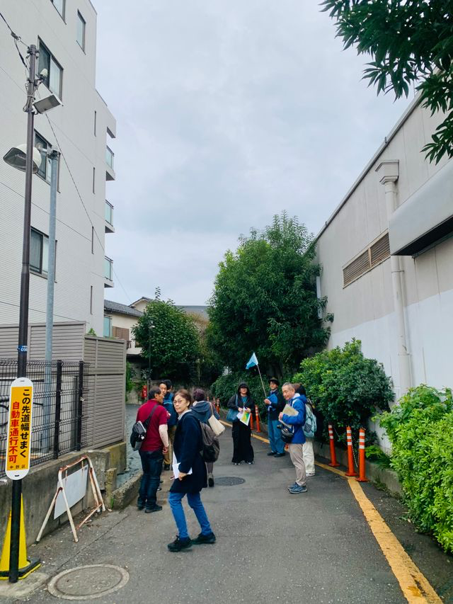


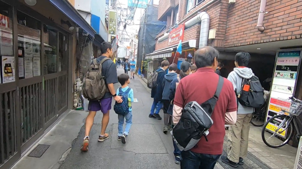
Walking through these lanes, we encountered what Takayama-san called a mystery pond — a small water feature tucked along the roadside. Perhaps its owner placed it there deliberately, as a quiet tribute to the river that once ran through. We also heard that a bathhouse called Uchikoshi-yu once stood nearby, and that its drainage water mixed into the Tenjingawa — turning the clear little stream gradually murkier as the neighborhood grew.
⑤ Coffee Mamesada — A Café Sitting Right on the Ankyo
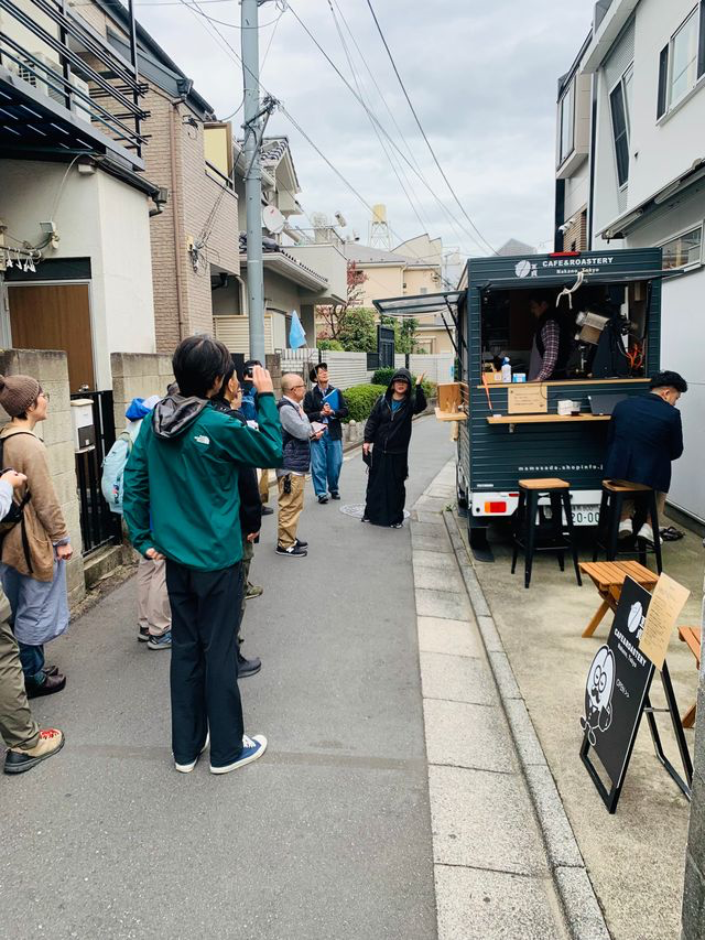
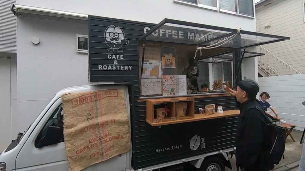
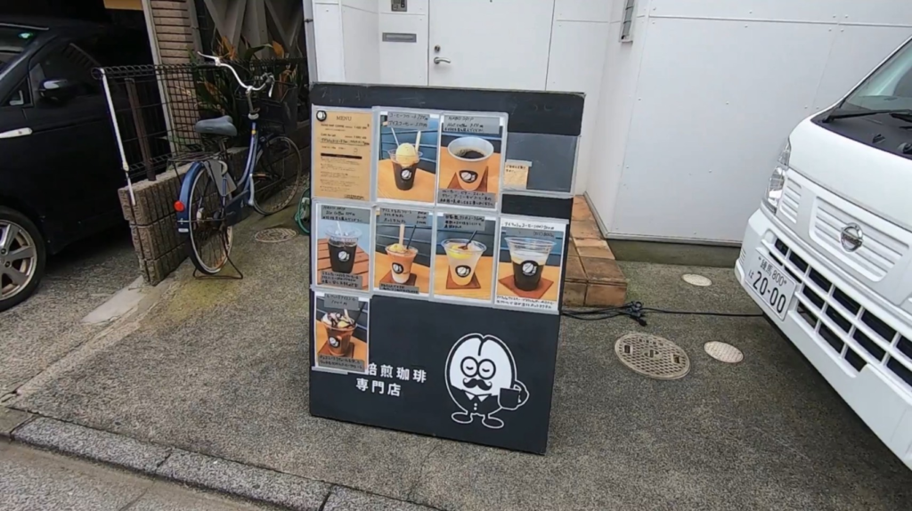
Coffee Mamesada is a specialty coffee roaster built directly above the buried Tenjingawa — making it, in ankyo enthusiast circles, something of a sacred spot. Some participants on this tour have since become regulars, visiting just to sit with their coffee and let their imagination drift to the water flowing silently beneath them.
☕ @coffee_mamesada on Instagram
⑥ Tenjin-yu — The Bathhouse That Remembers
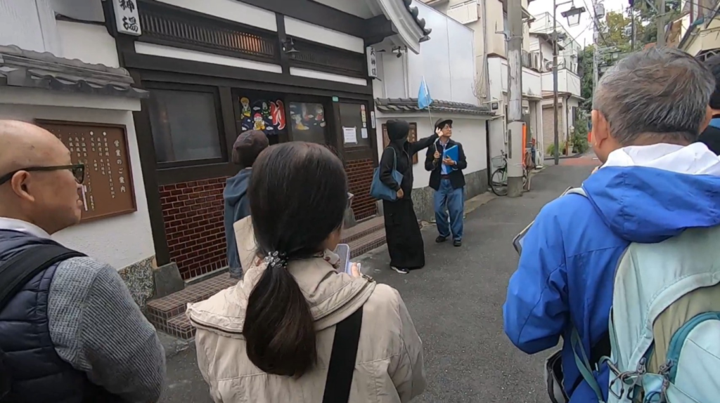
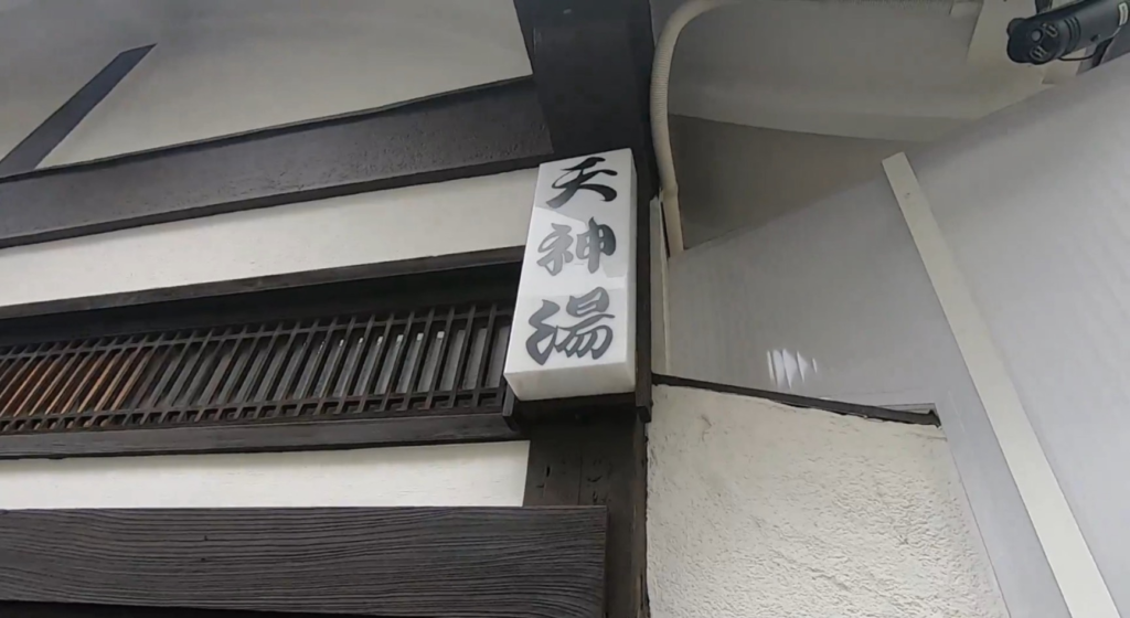
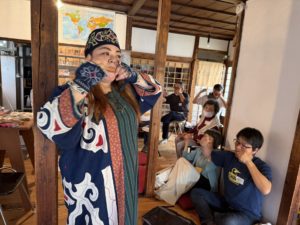
One of the tour's most moving stops was Tenjin-yu, a sento (public bathhouse) that has stood on this spot since 1930. The proprietress, Yoshiko-san, welcomed us inside and shared her family's history. Her father — originally surnamed Watanabe — had operated multiple bathhouses across the city under the name Watanabe Shokai, eventually settling here in Nakano in 1930 (Shōwa 5).
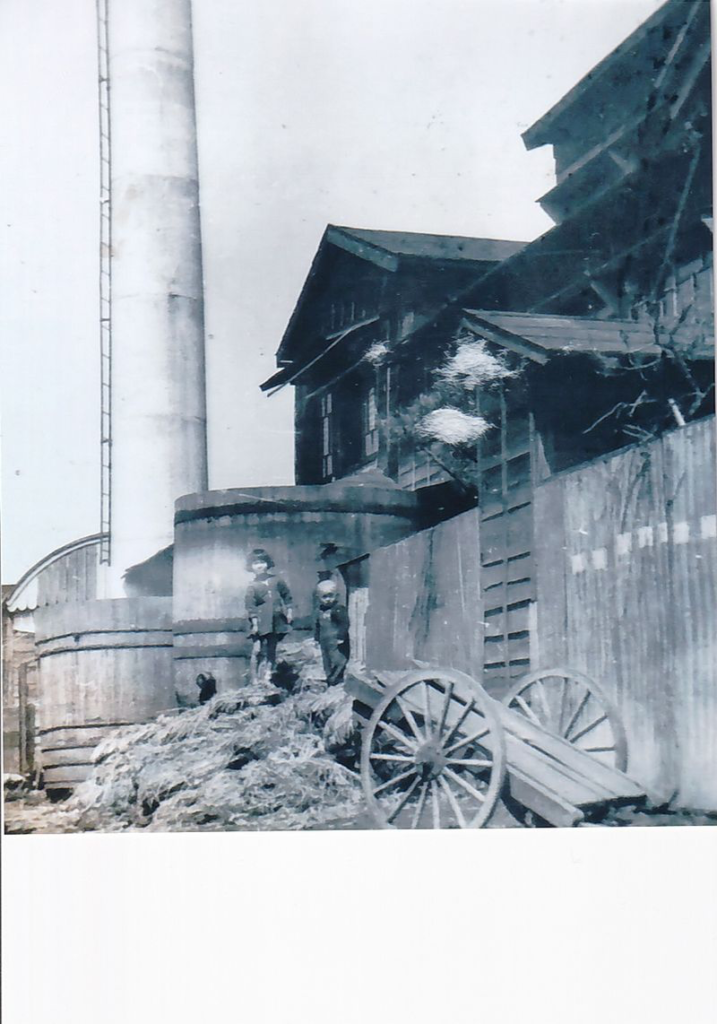

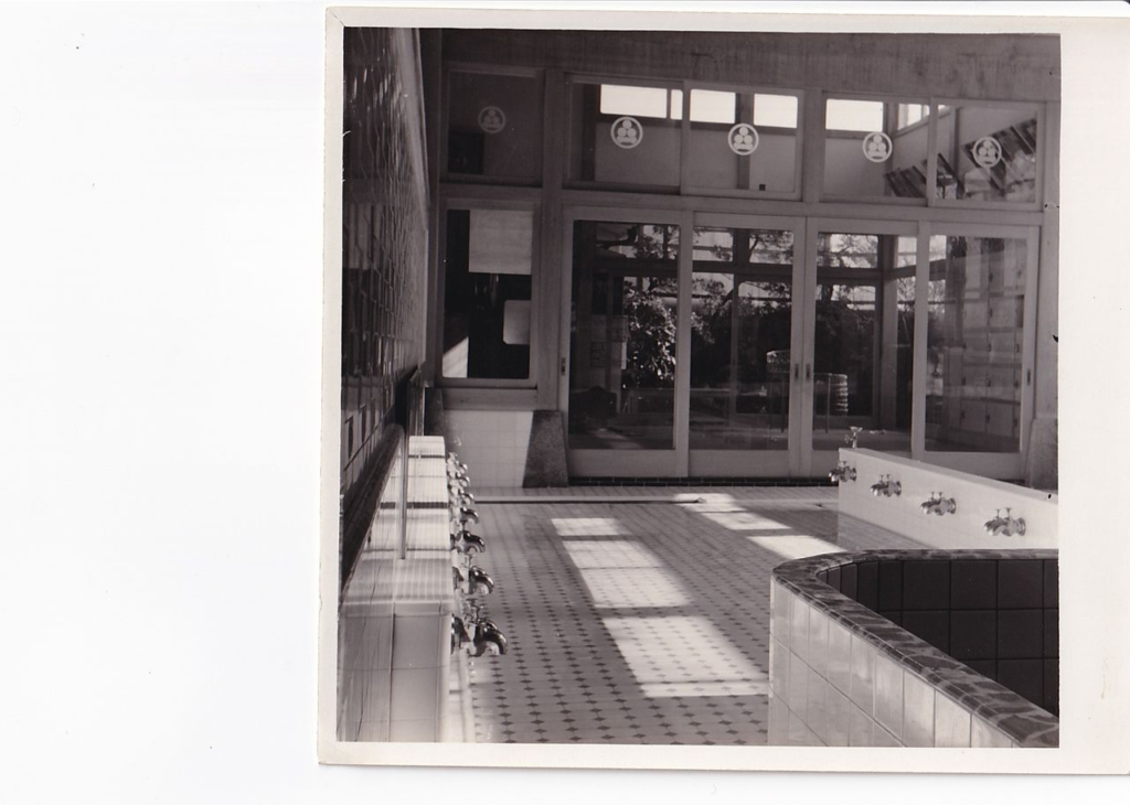
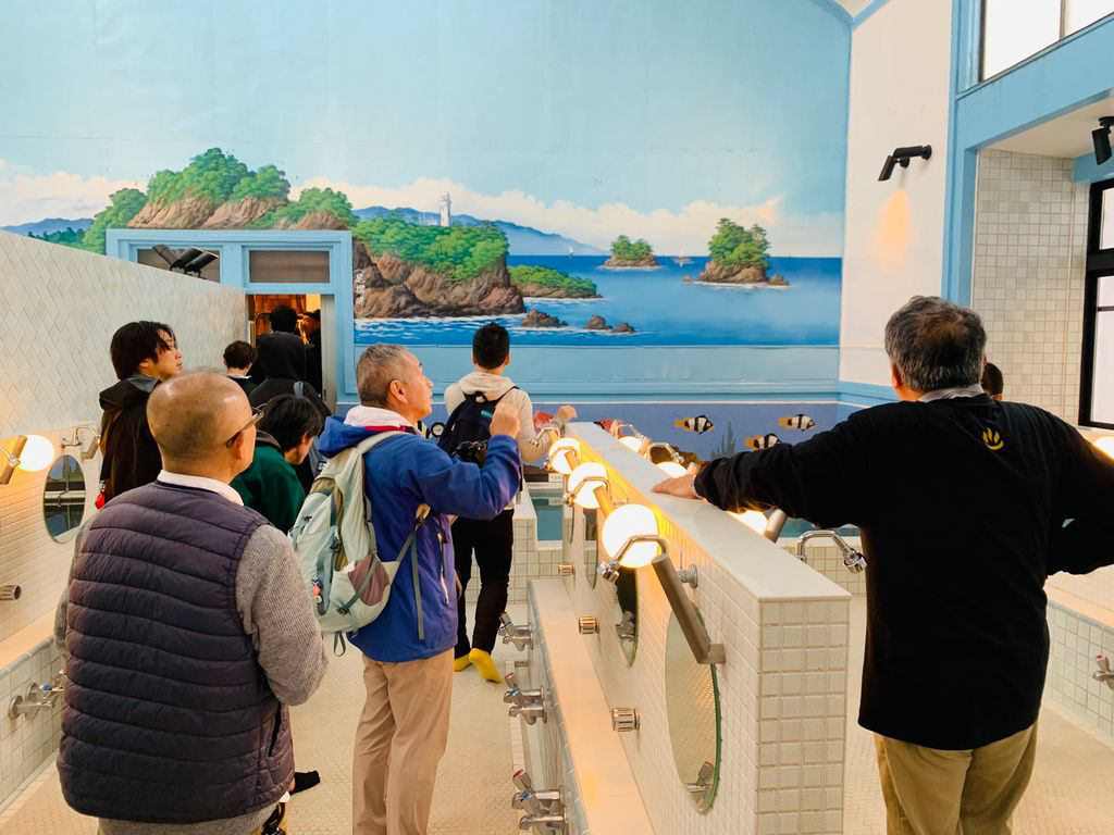

The bathhouse originally heated its water with firewood and wood shavings, requiring a large chimney. Over the decades the fuel changed — to heavy oil, then to gas — and the chimney shrank accordingly. The main structure dates from around 1955 and retains much of its original character: old roof beams, period glass in the windows. Yoshiko-san showed us vintage photographs and shared memories of a neighborhood that has changed almost beyond recognition.
🛁 Tenjin-yu website | @nakanotenjinyu
⑦ Ishihara Tobacco Shop — A Living Memory

Across from the Uchikoshi Tenjin Kitano Shrine, we stopped at a small tobacco shop run by Ishihara-san, 78 years old at the time of the tour. He remembered the Tenjingawa as an open canal — though just barely. By the time he was in elementary school, the river had already been covered over, sometime before the 1964 Tokyo Olympics.
"There was a bridge right here, and a river flowing under it," he told us, gesturing toward what is now an ordinary narrow lane. "We called it the ditch."
Every household's wastewater drained directly into the canal — dishwater, vegetable scraps, everything. Wooden planks bridged the channel in front of each home and shop. Ishihara-san also mentioned that a dye shop called Kaneko Senshoku once operated nearby, and its colored wastewater added to the murk. The river that had once run clear through the neighborhood slowly became, as older residents put it, something to hold your nose walking past.
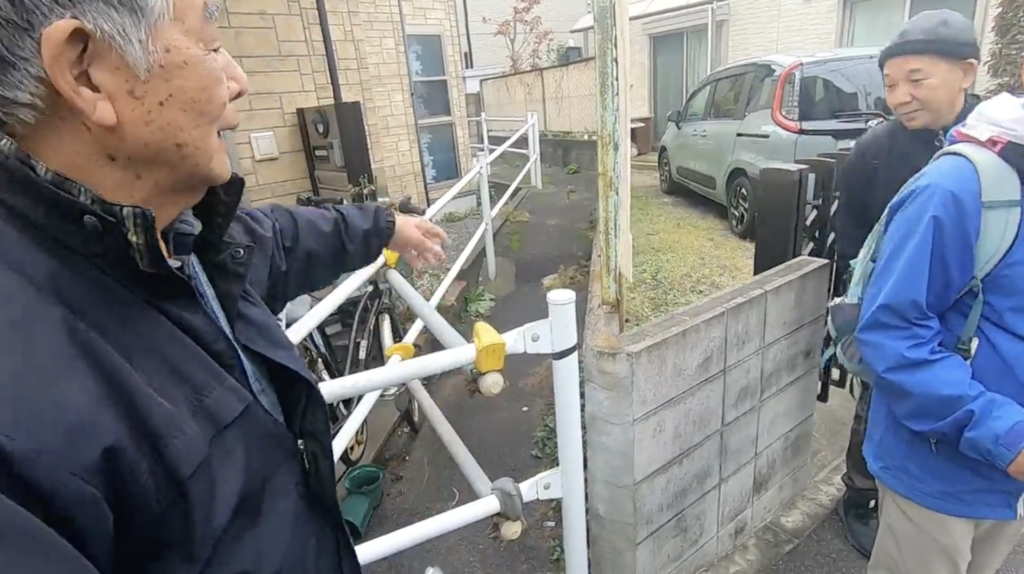
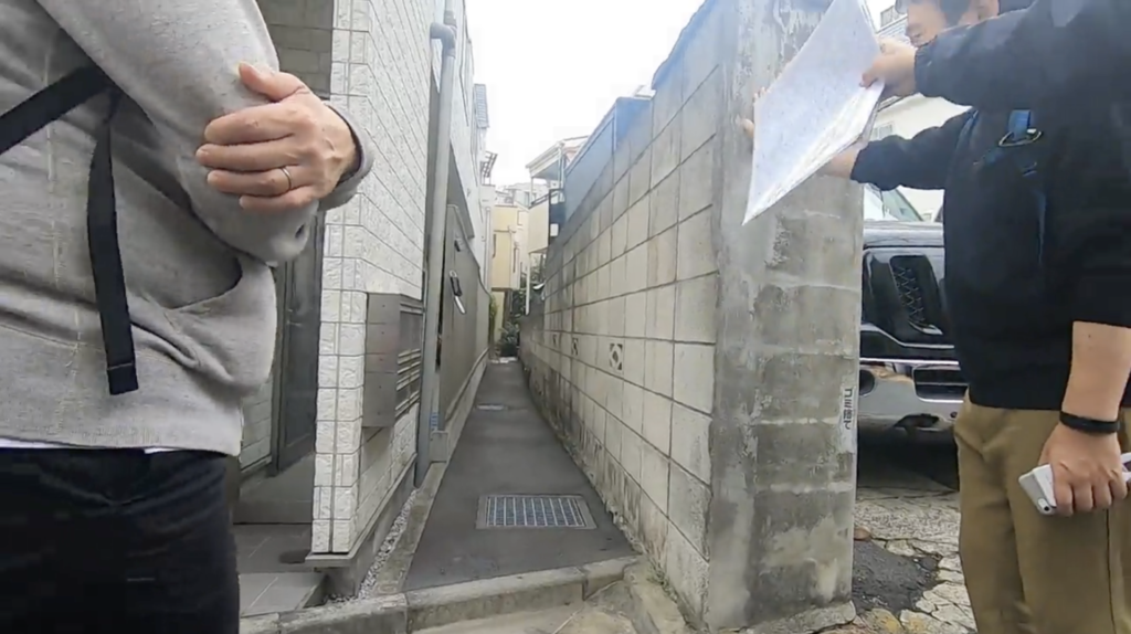
The group continued south along the former Tenjingawa route toward the Momozono River — now preserved as the Momozono River Greenway.
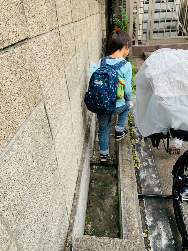


⑩–⑬ Momozono River Greenway
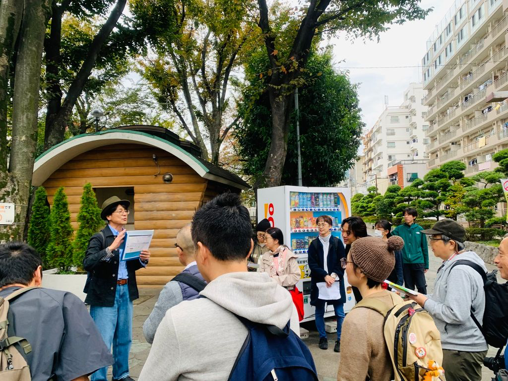
The Momozono River Greenway follows the course of another buried river, one far larger than the Tenjingawa. Beneath the pleasant walking path runs the Momozono River Main Line — a massive underground drainage channel measuring 6 meters wide by 3.5 meters tall. Even with this infrastructure, the area still experiences flooding, and several large underground water retention tanks have been built nearby. If you walk quietly along the greenway, in some places you can still hear the sound of water running far below.
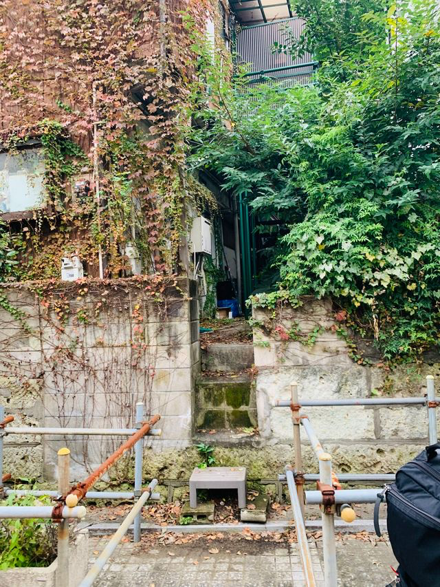
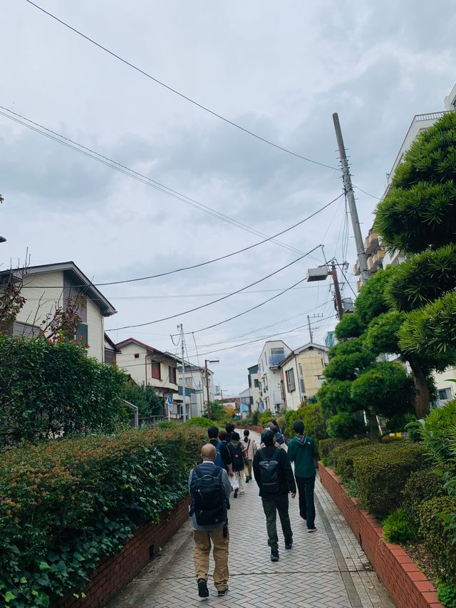
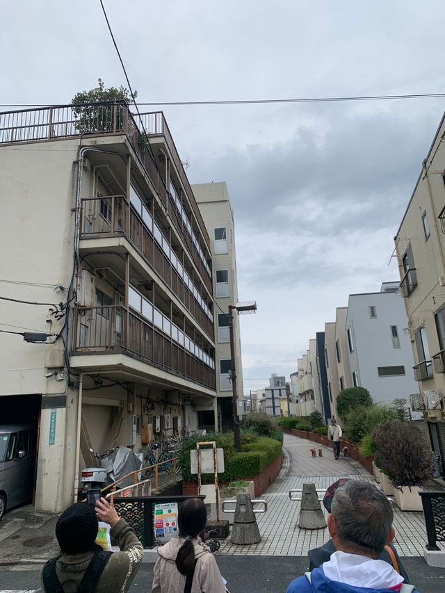

⑭ Yato Sports Park — Layers Upon Layers
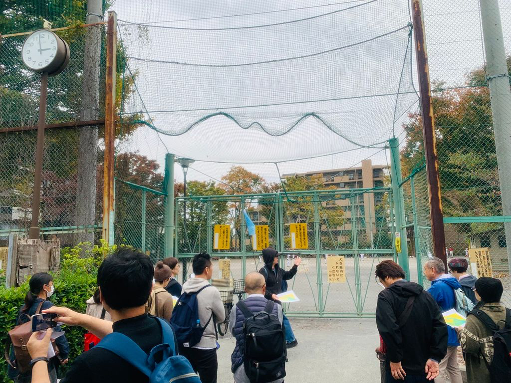
Our final outdoor stop was Yato Sports Park — the word yato (谷戸) describes a valley formed by the erosion of a plateau, and it's thought that natural springs once fed a small valley here, draining into the Momozono River. The site is also said to have been the estate of a local warlord in the feudal era, later associated with the Hojo clan's administration of the Nakano region. History on top of history, compressed into an ordinary park.

Back at Himitsukichi: Diving Deeper
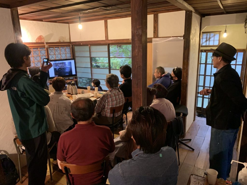
After the walk, the group gathered at Nakano Himitsukichi for two talks that expanded the day's discoveries into something larger.
Takayama-san: How to Find an Ankyo
On a map — 5 methods:
- Road turbulence — A road that meanders on the map for no obvious reason may be following an old watercourse.
- Vanishing rivers — Where a river seems to end abruptly on a map, the ankyo often picks up on the other side.
- Ladder roads — When a canal was converted to a path, planners sometimes created a green strip down the center with roads on both sides — a distinctive "ladder" pattern visible on aerial maps.
- Skewed land parcels — Land divisions that don't quite align with the surrounding grid may be following an old riverbank.
- Fossil place names — A crossroads named "X Bridge" with no bridge or water in sight is almost certainly marking where a bridge once stood.
On the ground — 5 methods:
- Subtle elevation changes — Even a slight dip or rise in the terrain can mark a former valley or riverbank.
- Unusual road widths — A lane that's notably narrower or wider than those around it may be tracing an old channel.
- Pavement texture — Cracks or irregularities in the road surface can indicate a buried structure beneath — the ground above an ankyo settles differently.
- Water-dependent businesses — Bathhouses, dye shops, ice dealers — these businesses needed reliable water access, and their locations often mark former riverbanks.
- Talking to locals — As today's tour showed, living memory is irreplaceable. In another decade, encounters like our conversation with Ishihara-san may no longer be possible.
Why were so many rivers buried? During Japan's high-growth era, fields and farmland gave way to factories and housing. As more ground was paved over, rainwater had nowhere to go — rivers flooded more frequently. What had once been life-giving waterways came to be seen as a liability, and were buried in the name of modernization. The Great Kantō Earthquake and the Tokyo air raids added earlier waves of infill, as rubble was used to cover canals during postwar reconstruction.
"Everyone carries their own ankyo." Takayama-san closed with a reflection that stayed with everyone. An ankyo flows silently in the dark, unseen, unacknowledged — yet still very much present. It's a metaphor, he said, for the parts of ourselves we keep hidden. When you learn to look for what's buried beneath a city, you start to notice the same quality in people — and in yourself. "I began to feel that perhaps everyone carries their own ankyo, flowing quietly somewhere inside."
The evolution of walking. Urban walking became a recognized hobby in Japan in the 1990s — TV programs celebrated the joy of strolling and discovering a neighborhood. The next phase, he argues, is walking with pride: not just finding things, but feeling a deep, personal connection to the place you're walking through. Today's tour, he said, was exactly that kind of walk.
Yoshimura-san: Maps, Myths, and the Memory of Water

Yoshimura-san followed with a deep-dive into the documentary record. Overlaying historical maps on modern satellite images, he traced additional threads of the Tenjingawa's story.
The well at Nagaseya. A sake shop called Nagaseya once stood near the river's estimated source, and its grounds contained an old well — one that may have supplied water to the Edo-period dog kennels nearby. This well was featured on the TV program Bura Tamori. Despite surrounding redevelopment, the well is expected to be preserved in some form — a small victory for water memory.
Yato Guard and the language of topography. A railway underpass nearby is still called "Yato Guard." Even when place names disappear from maps, they survive in unexpected corners — an underpass name, a park name, a building address. The same phenomenon as fossil place names, in a different form.

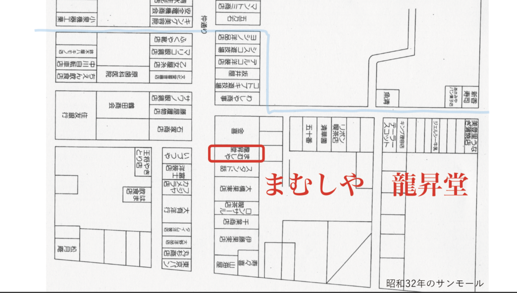
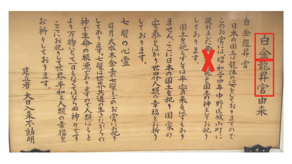
The white snake of Shirogane Ryūshōgū. When a nearby pond was filled in, locals reported seeing a white snake emerge. In 1949, a small shrine called Shirogane Ryūshōgū was built to enshrine it — white snakes being considered divine messengers in Japanese tradition. The shrine was later relocated to a triangular plot along Yamate-dori, where it stands today. (A side note from oral records: the snake itself was reportedly entrusted to a reptile shop in the Sun Mall shopping street, where it eventually died — a surprisingly mundane end to a sacred story.)
Ōta Dōkan and the limits of history. Local records suggest the area around Yato Park may have connections to Ōta Dōkan, the 15th-century architect of Edo Castle. But Yoshimura-san was careful: "The connection is mentioned as a possibility — it hasn't been confirmed." Historical narratives, he noted, are sometimes embellished in later retellings. Reading them requires the same two lenses as reading a city: evidence, and imagination — clearly distinguished.
The ghost of Maruman. One final detail: a supermarket called Maruman once stood near the Tenjingawa. Long after its closure, a building in the area was named "Chambre Maruman" — the name surviving in the architecture long after the shop itself had gone. Places, like rivers, leave traces.

By the end of the afternoon, the streets of Nakano felt completely different — layered with story, alive with water that refused to be forgotten. The Tenjingawa may be gone from every map, but it flows on in the curves of roads, the names of underpasses, the memory of an old tobacco shop owner, and the quiet pond inside a building nobody would think twice about entering.
We left, perhaps, a little more in love with this neighborhood than when we arrived.
This archive article is based on the content shared by Ankyo Maniacs during the tour. Written by Nakano Himitsukichi.
Guides: Takayama-san & Yoshimura-san (Ankyo Maniacs)
Video: Kurokita Masamichi / Editing: Yamazaki Nagisa
Report: Yamazaki Nagisa & Yamamoto Mariko (Nakano Himitsukichi)
Ankyo Maniacs website
🇯🇵 日本語版を読む